

Mapping

Overview
Orthomosaic mapping with a drone offers numerous benefits, including high-resolution imagery and accurate geographical representation. This technology significantly reduces costs and time compared to traditional methods, allowing for quicker project completion and less manpower. As a premier service provider, we ensure that our clients receive top-quality deliverables that enhance decision-making and project efficiency.

Our Services
Orthomosaic Mapping
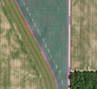.png)
Think of these maps as a real-time snapshot of a project. Our drones take hundreds (if not thousands) of photos and put them together into one image for your project.
Elevation Mapping
_edited.jpg)
Similar to orthomosaic mapping, but we use the data from pictures to show relative elevation in a given area.
FAQ
Drones? Why not just use satellite imagery?
Satellite imagery typically has interference from clouds whether you can see it or not. A+ Drone Services provides sub-2-inch per pixel accuracy when conducting field analytics. Typical agricultural satellite imagery has an accuracy of 50-100 feet per pixel. Satellites also have to deal with interference from cloud and the atmosphere. Our drones fly at a maximum of 400 ft above ground level, so we are far below any of these obstructions.
What are the benefits?
Get to every field - Our drones don't get tired during hot summer days and can cover all your acres in a fraction of the time manually scouting would take.
See the entire field - Not every problem in the field is easily shown on the headlands. Weed patches, flood damage, and diseases all can appear in the middle of a field where it's hard to get to on foot.
Pinpoint where to look - Our maps show where problem areas are, allowing you to go only where necessary on foot. We highlight areas of concern for you to scout so you don't spend hours walking up and down rows.